History
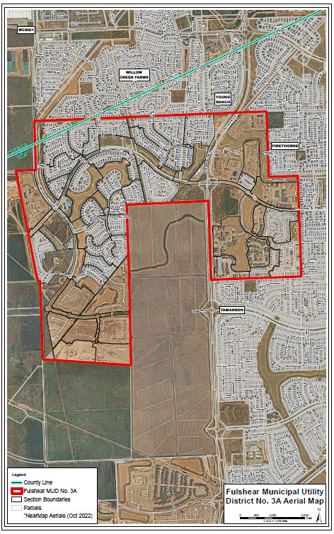
The District was created by an order dated August 21, 2015, that, pursuant to the Act, divided Fulshear Municipal Utility District No. 3 into two distinct municipal utility districts: the District and Fulshear Municipal Utility District No. 3B (“Fulshear 3B”). Upon its creation, the District was made up of 493.86 total acres, and, due to one subsequent annexation, the District now encompasses 577.23 total acres.
The District is situated primarily within Fort Bend County, Texas, although a portion of the District’s lands (approximately 10 acres) are within Waller County, Texas. The District is located approximately 33 miles west of the City of Houston, Texas, approximately 4 miles west of the City of Katy, Texas, approximately 4 miles north of the City of Fulshear, Texas, and approximately 1 mile south of the intersection Interstate Highway 10 and Jordan Ranch Boulevard.
District Map